


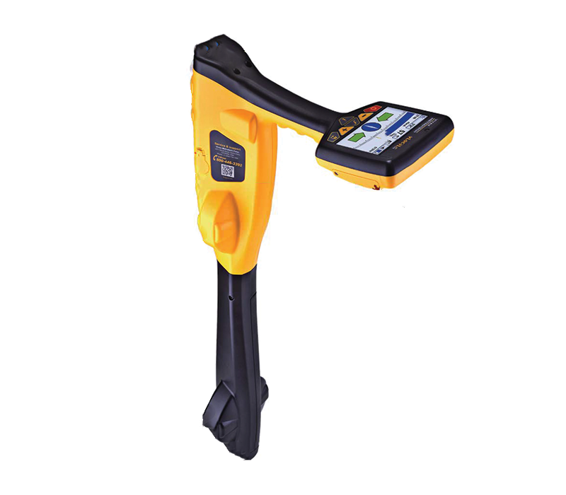
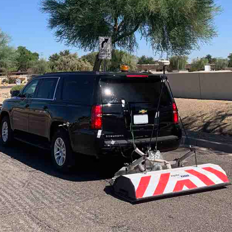
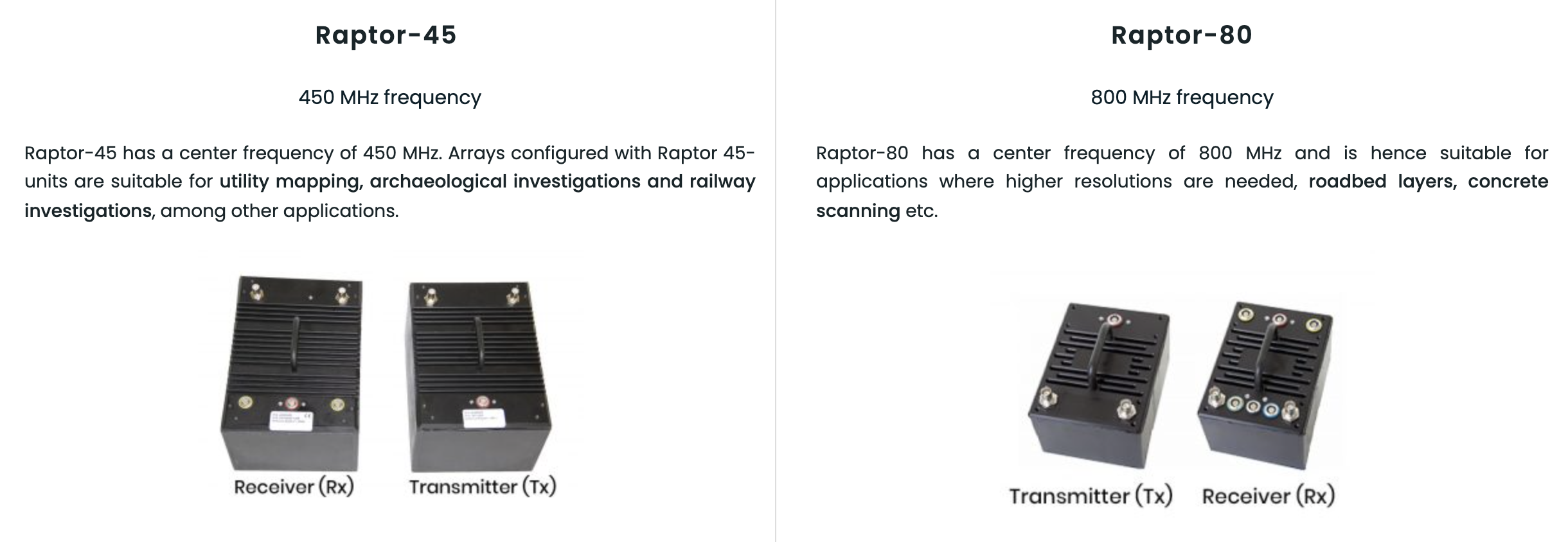
Raptor High Speed 3D Ground Penetrating Radar Array
Raptor is a state-of-the-art high-speed 3D-GPR Array enabling the very fast collection of 3D GPR data, at speeds in excess of 130 km/hr (80 miles/hour), @ 5 cm point intervals. Raptor is capable of survey speeds that eliminate the need for traffic control and safety vehicles. Conventional systems typically operate at no more than 30 km/hr, with similar settings.
Benefits:
Efficient Subsurface Mapping:
Designed with simplicity in mind, Raptor will help you achieve maximum productivity and optimum results. The unique design allows antennas to be configured quickly, easily and expanded as needed. The density of collected data means that a single pass is all that is needed to obtain high quality 3D information of the line surveyed. Combined with the synchronization of accurate positional data, each survey line, or ‘swath’, can be precisely aligned to adjacent swaths. This optimises the data gathering process for efficient subsurface mapping
Boost performance and improve workflows:
Condor 3D tomography software is setting a new standard for speed and efficiency for array data. Field to a 3D tomographic image of the data is now measured in minutes and many data sets can be fully processed in a tailgate session in the field on a laptop!
Flexibility:
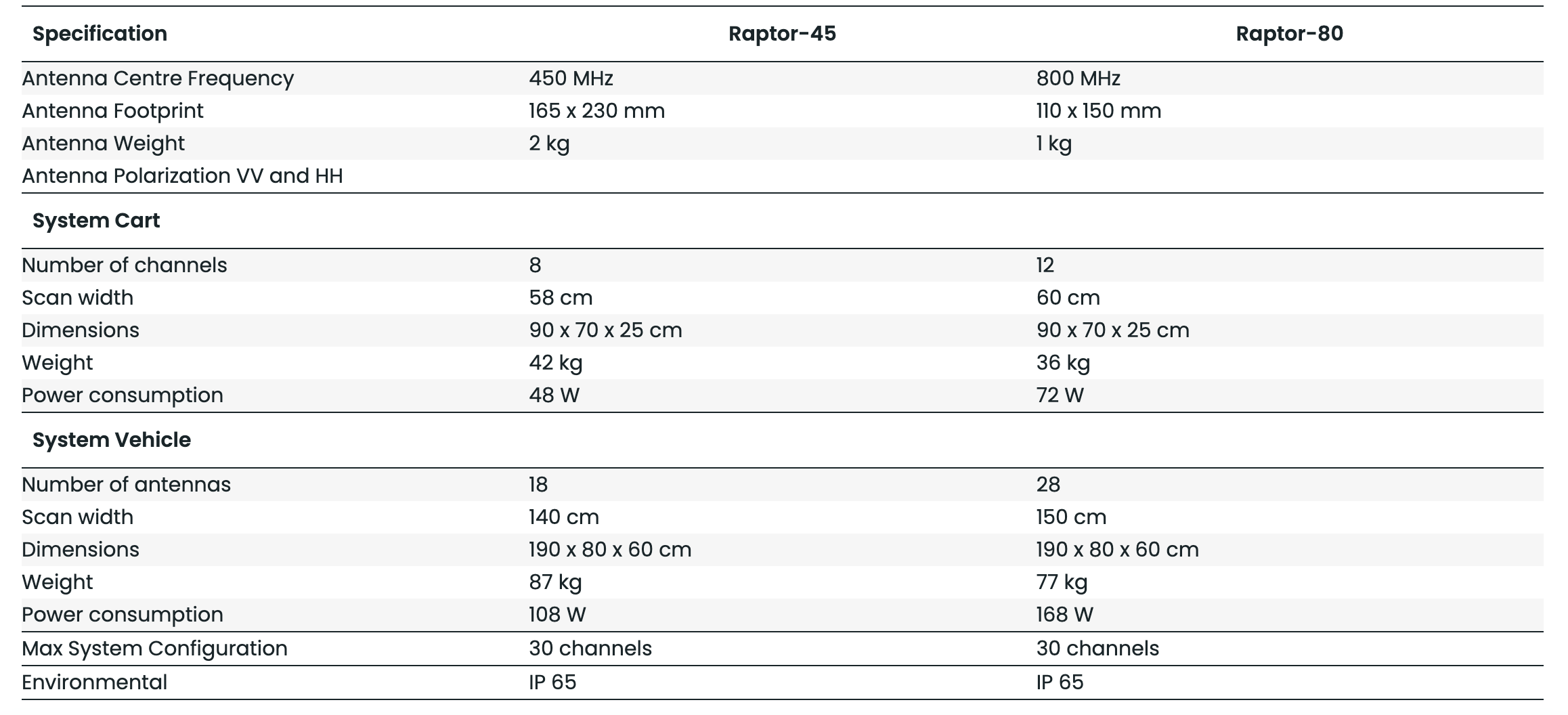
Raptor is the most modern GPR-Array solution on the market. It consists of separable transmitters and receivers which a user may configure for arbitrary number of channels as well as for different applications. A large array may be split into two and two smaller arrays may be configured as one larger, without extensive additional costs. The Raptor system is based on our latest Real-Time Sampling (RTS) technology.


.