
Condor – 3D GPR Processing & Interpretation Software
Acquiring data with Raptor is efficient as less time is spent in the field collecting data, which means you have more time to process. However, Condor offers further efficiencies that reduce the time spent on processing. Consequently, projects can be completed more quickly, which means you can take on more work. The data manager enables the practical and intuitive organization of information. The user has full control of views and outputs from the various processing stages, while the layer manager offers the same for interpretation procedures.
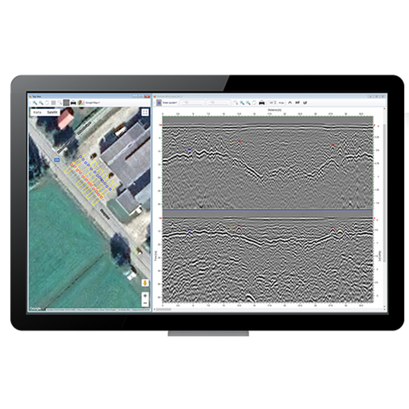
CrossPoint – Visualisation Software
The software is intuitive and easy-to-use and provides effective tools for filter assignment, data processing, marking points of interest, visualising profiles and markers in the site view – including online map support, and exporting markers for geo-referencing within suitable CAD/GIS environments.
The software excels at simplifying the processing and mark-up of multi-line 2D GPR projects but is equally adept at supporting a single-line projects project. Compatible with the project modes in the ImpulseRadar ViewPoint acquisition App, CrossOver and PinPointR data sets can be processed quickly and efficiently. By viewing up to ten parallel profiles simultaneously, anomalies in the data can be more easily resolved, which makes for increased productivity.
Profiles from Raptor surveys can be also be viewed, either individually, or together with all profiles in a single swath. This allows quick analysis of 2D data before import into the ImpulseRadar Condor 3D processing software.
Colour-coded markers are used to indicate anomalies or points of interest within the data. These markers show up both in the radar profile as well as the site map. Once a project is complete, the markers (including profiles) can be exported for import into third-party drawing packages such as CAD, or into geographical information systems.


ViewPoint App
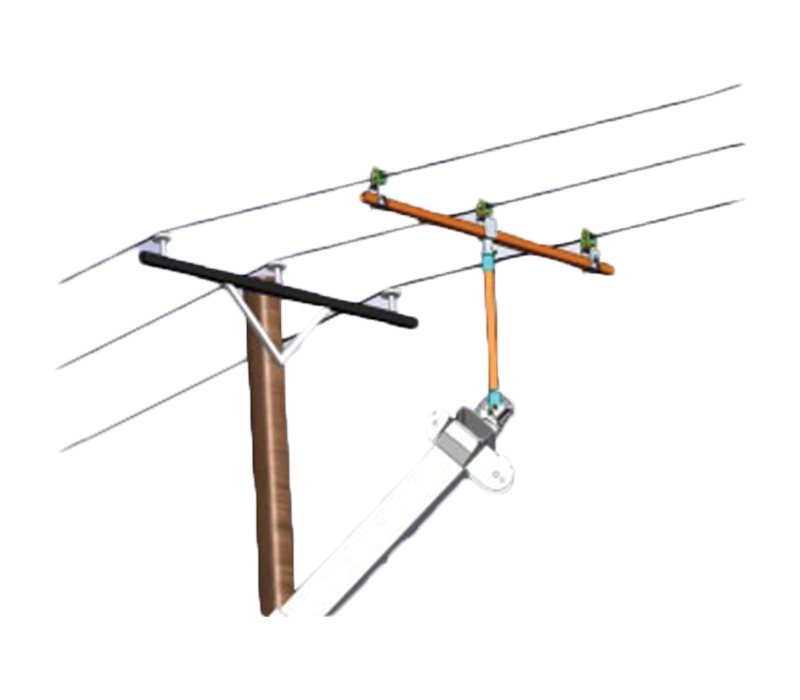
ImpulseRadar ViewPoint is an Android data acquisition application (App) that controls ImpulseRadar CrossOver and PinPointR antennas. When installed on a suitable Android device (Smartphone or Tablet), ViewPoint enables wireless connectivity between the device and the GPR antenna.
The modern and intuitive user interface is designed to maximize your in-field productivity with features and functionality to support your daily workflows. Collect single or multi-line projects with full control over profile lengths and spacing to suit actual site conditions and your specific subsurface investigation objectives.
Talon – GPR Data Acquisition Software
Talon is proprietary Windows-based software designed for the configuration and control of ImpulseRadar Raptor antennas for advanced 3D data acquisition. The design is deliberately geared toward quality control and quality assessment of both the GPR data and the positioning data during acquisition. Structuring the software in this way minimises the risk of you leaving the field with data that is corrupt or useless.
Highly visible controls make system operation easy, while colour-coded status indicators show the correct operation of vital hardware components at a glance. This includes the condition of each measurement channel and the incoming positioning data, so that signal performance and proper operation can be monitored.
Views can be toggled between the radar data acquisition screen or the navigation map view. To ensure optimum data acquisition, the navigation view is used to align measurement swaths correctly and to minimise gaps in the data. At the same time, colour-coded buttons will warn of any changes in the accuracy of positioning data during the measurement process.